
📋About Taranis
Updated August 26, 2026Taranis is an aerial crop intelligence platform using drones and satellites with AI for pest and disease detection.
🛠️Products & Tools (1)
TaranisAgriculture AI
Aerial intelligence platform combining drone imagery, satellite data, and AI to give farmers detailed field-level crop health insights and early disease detection.
Keep track of the companies you’re watching
- Save the companies you want to follow
- Get ⚡ alerts when your saved companies change
- Every product they ship, cross-linked to 900+ AI tool profiles
- Today’s top AI Stories — the day’s most important AI news, free
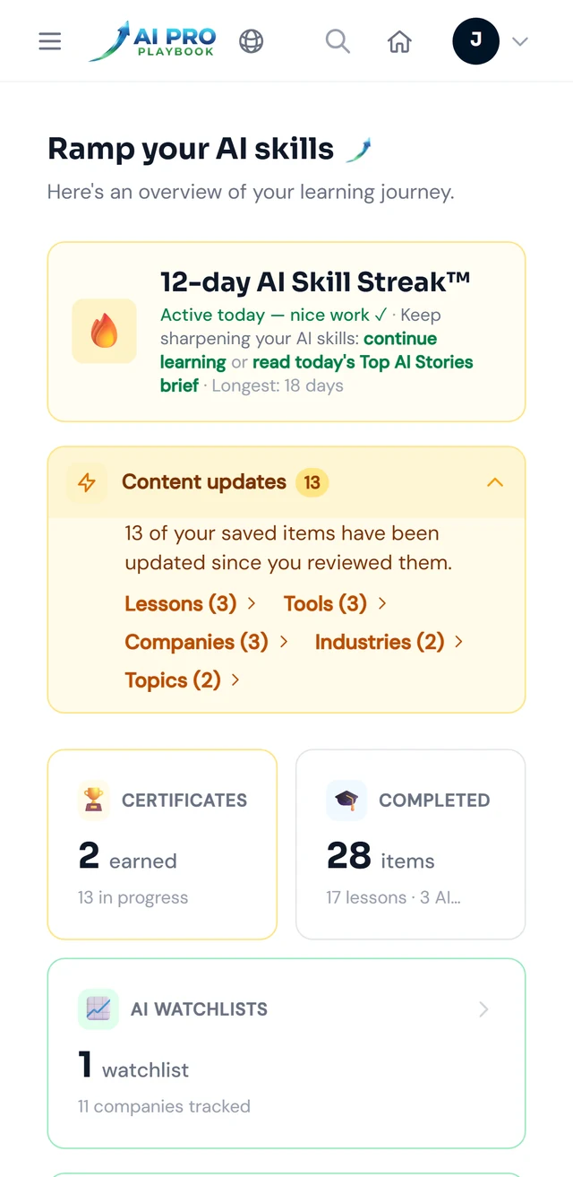

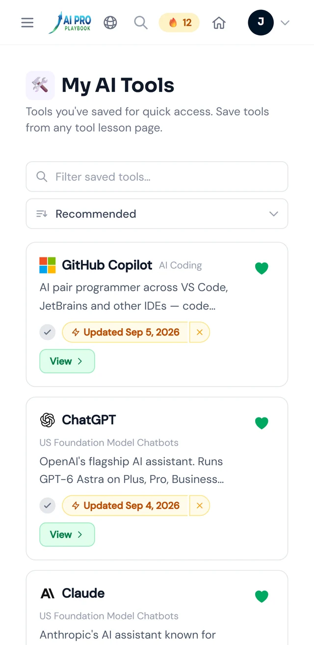
Swipe for Recommended for you and My AI Tools
Your AI Hub — sample data. See desktop view example