
📋About ZestyAI
Updated August 26, 2026ZestyAI builds aerial-imagery and agentic AI that extract parcel- and structure-level property attributes — roof condition and complexity, vegetation, pools, debris — at near-complete North American coverage, plus climate-peril models. Founded in 2015 and headquartered in Oakland, California, ZestyAI is used mainly for insurer risk pricing but provides core property intelligence that overlaps valuation and real-estate risk.
🛠️Products & Tools (1)
ZestyAIProperty Data & Valuation AI
Geospatial AI that reads parcel- and structure-level property risk from aerial imagery.
Keep track of the companies you’re watching
- Save the companies you want to follow
- Get ⚡ alerts when your saved companies change
- Every product they ship, cross-linked to 900+ AI tool profiles
- Today’s top AI Stories — the day’s most important AI news, free
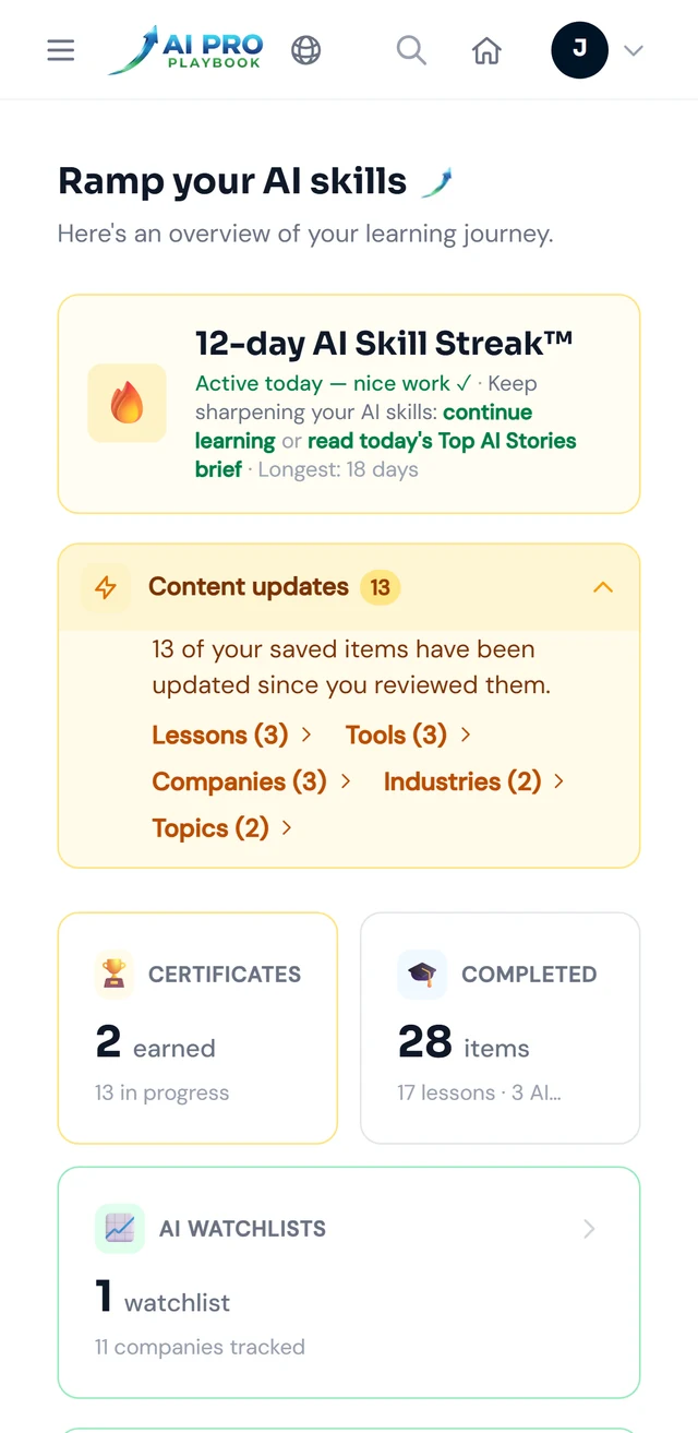
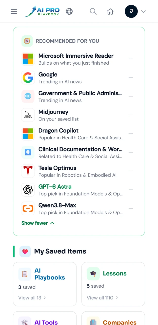
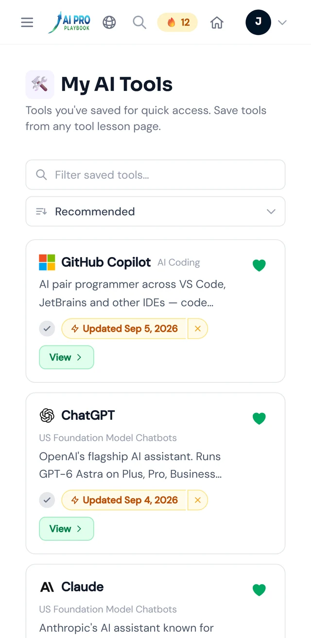
Swipe for Recommended for you and My AI Tools
Your AI Hub — sample data. See desktop view example